 |
Ken Baldry's walks around Saas FeeFirst walk-in, from Grächen: The Balfrin Hoheweg |
This is a very tough walk & has the most mendacious signpost times in the whole country.
This is also a stage on the "Round Monte Rosa" walk. In the old days, it was possible to stay at the Hannighüsli Hut on the Grächen Hannigalp but since the skiing took off, this is no longer possible, alas. From Grächen, it is a 90 minute walk up to the Hannigalp from beside the Seetalhorn lift or cheat & take the gondola up to the Hannigalp. The sign there says 5 1/2 hours to Saas Fee. If you are a cross-country runner in your university team & not remorely risk-adverse, this may be possible. Human beings allow 10 hours for the whole trip. The path starts simply & pleasantly enough round the end of the ridge & soon takes a right-hand fork. You are now committed, as whether you go to Saas Fee, Saas Grund or Saas Balen, it takes about the same time.
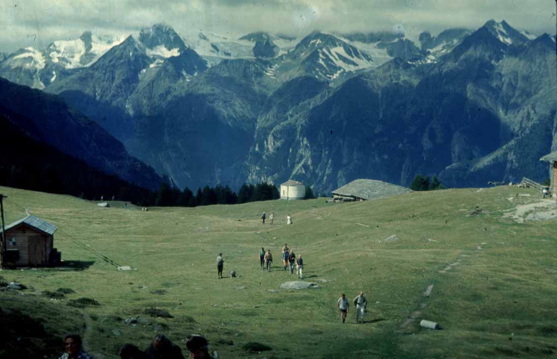
Grächen Hannigalp, now much cut up by skiers |
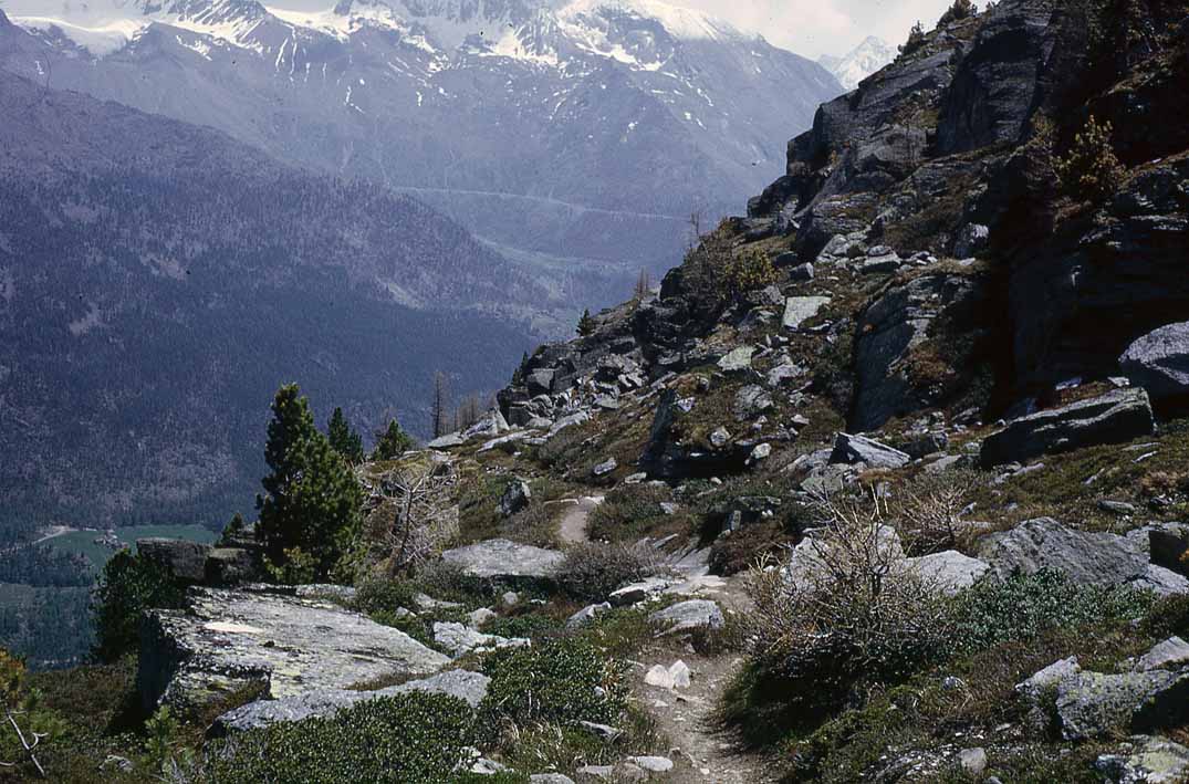
Soon after the beginning |
You now go gently up & down, tendency up but with quite a lot of fixed rope & handrails until it goes steeply up to the Stock. This is the high point of part one of this tour. The path drops away & then contours to a stone shoot which comes down from the Grächer Gabelhorn. Great care is needed here, as it is loose & liable to change every winter. I got over ok in 2008 but in 1973, the path had gone & we had to climb over, using a tension traverse with the rope.
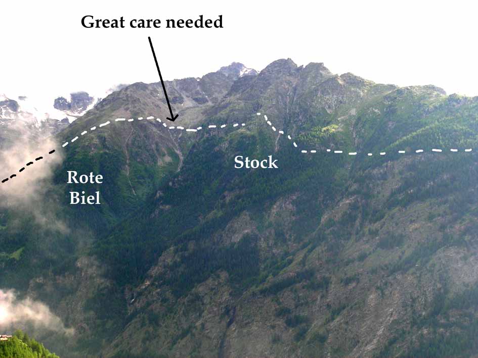
The path after the Hannigalp showing the danger point. |
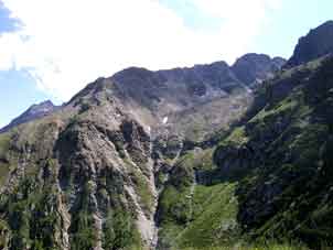
A closer look at the dodgy Gabelhorn stone shoot |
The next section is a scramble up over blocks, with very thorough way-marking so you always step on the correct rock. Then, a nasty loose steep drop down to the Rote Biel. This is the last perilous section & one is rewarded by a great view of the Balfrin: horns & glacier. We descend, soon through trees, to the Schweibbach, the stream down from the glacier.
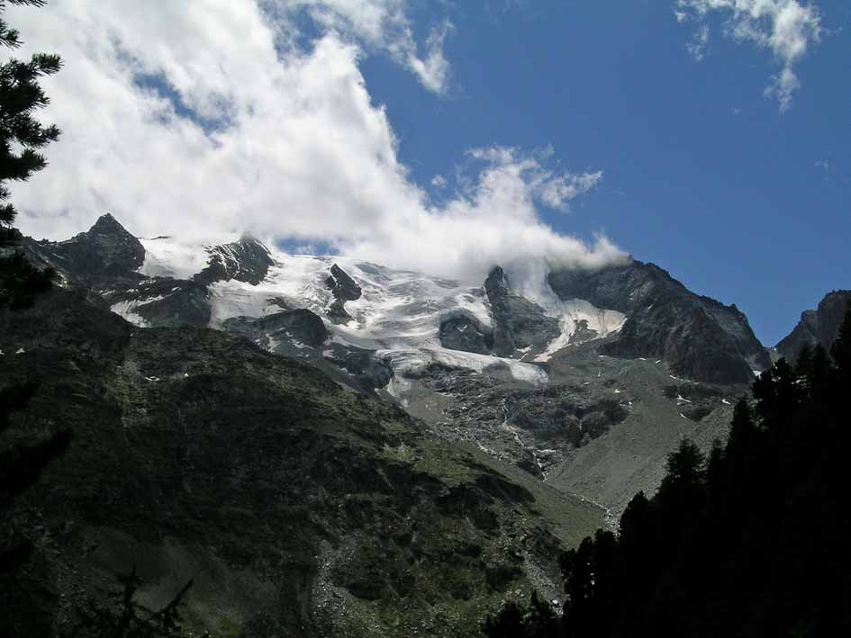
Balfrin horns & glacier from Rote Biel |
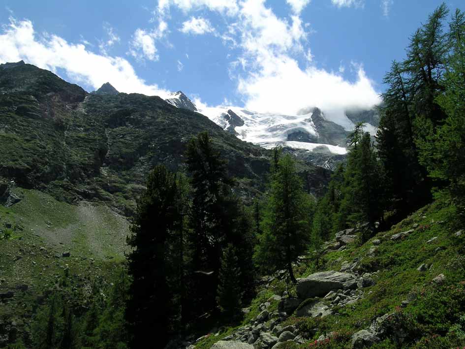
Into the woods above the Schweibbach |
At the stream, there is a bridge made of scaffolding & looking too feeble to survive the Winter, so presumably, they are now re-erecting it every year. Over the bridge, part two of the hoheweg starts & the path drops a little before rising to a corner back into the Saastal proper. This is the North end of the Bockwang, safe but not for the faint-hearted, as the drop into the Saastal is vertiginous.
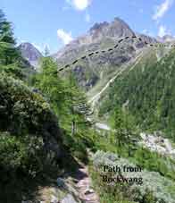
Grächer Gabelhorn back from the turn in the path |
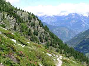
Looking North across the Bockwang |
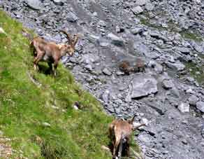
Two lady Steinbock with two |
It eases up & there is a gently rising track across the Bockwang. Then, a huge stone shoot appears & one picks one's way horizontally across the blocks to the high point of part two, with the possibility of seeing Steinbock.
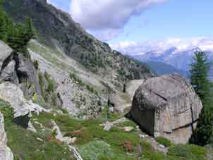
North end of the Stafelalp |
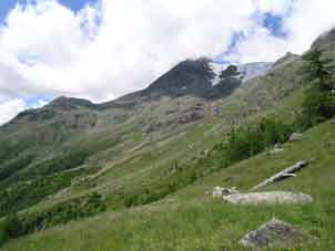
Stafelalp from North |
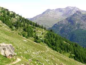
Stafelalp from South |
The path drops easily across the Lammenhorn to the end of the Stafelalp. In 1973, our relief on getting here was immense! At the end of this rather long sloping meadow, the path descends through the woods to Saas Fee. I did the walk the other way, from Saas-Grund in 2008, from where, there is a steepish footpath up. (Most of the photos above were either taken in 2008 or 2010 from the other side of the Saastal). This was when I met the Steinbock. In this direction & just before the nasty bit after the Rote Biel, it is possible to cheat by going up to the ridge (marked path) & taking the chairlift down to Grächen. I have no information about walking down from the chairlift top station to Grächen. Perhaps, someone can e-mail me on the subject, please. That I took the same time in 1973 (age 30) & 2008 (age 65) demonstrates the virtue of steady plodding in the hills.
Contact: Ken Baldry, 17 Gerrard Road, Islington, London N1 8AY +44(0)20 7359 6294 or e-mail him
URL: http://www.art-science.com/Ken/Alpine/Saas_Fee/saasfee7.html Last revised 15/9/2015 ©2000-2015 Ken Baldry. All rights reserved.